• Where Do I Start?!

    Well, the first thing we need to do is get a good overview of what’s on site, and whether there are any wider constraints.

    We do this in two ways:

  • Site Visit

    An ecologist will visit your site to photograph and map the habitats. At the same time, they will also decide whether anything on site has suitability for protected species and note the locations of anything additional like invasive species.

    Desk Study

    The ecologist will also have a look for nearby nature reserves and other designated sites, observations of protected species, laws protecting biodiversity, and any other relevant information. They might also tell you that they need to order a data search from your Local Environmental Records Centre (LERC), which is more detailed but costs extra.

  • These two elements are combined into a single report called a Preliminary Ecological Appraisal (PEA) which contains a review of the information in the desk study, a description of the habitats and plant species present on site, a list of any further botanical and/or protected species surveys we’ll need to do, and an outline of any special measures that might be needed before, during, and after works to protect habitats and/or wildlife.
    Section image
  • What Other Initial Surveys Might I Need?

    If you’ve been told you need Biodiversity Net Gain (BNG), you will definitely need a Habitat Condition Assessment (HCA). This is usually conducted at the same time as your PEA survey, and it consists of comparing specific features of the habitats on site against a structured checklist to obtain a final score of Good, Moderate, or Poor. The criteria with room for improvement can then be targeted when we’re recommending enhancements.

    This one is entirely field-based, although we might need to check a few details back at our desks before we can confirm the condition of ALL the habitats!

  • Another BNG-related survey you might need is similar in nature. River Condition Assessments (RCA) also give us habitat condition scores, but only for watercourses like rivers, streams, ditches, or canals.

    This one is a lot more complex; you can find more about this specific survey type here!

    If you have hedgerows on site which are at least 30 years old, and either 20m or more in length OR linked at one or both ends to another hedgerow (garden hedges excluded), there’s a good chance it counts as Important and will need a dedicated Hedgerow Survey.

    Don’t worry if you don’t know exactly how old or how long your hedgerow is! The ecologist will be able to confirm those.

  • What If I Need Something More Specialised?

    Sometimes, your ecologist will find things that need a bit more investigation. This is very common, so don’t panic! There’s a whole host of secondary habitat surveys out there, some of which are outlined below.

  • Section image

    One of the best known is the National Vegetation Classification (NVC) survey. This is, in essence, a more detailed version of the initial PEA survey but involving dedicated software.

  • Site Visit

    The ecologist will visit the site again, but this time they will be noting physical factors like soil type, slope, altitude, and land management rather than a general overview of the habitats themselves. Unlike the PEA surveys, which can be conducted at any time of the year, NVC surveys can only take place between April and September.

    Analysis

    The results from the field survey are input into a dedicated piece of software, allowing the ecologist to compare the matches against your habitats and decide which is the most appropriate.

  • If you have a patch of woodland on site which you know is pretty old, it might be Ancient Woodland. This is woodland which has existed continuously since 1600AD, and it usually falls under either Ancient Semi-Natural Woodland (ASNW) or a Plantation on an Ancient Woodland Site (PAWS; i.e. woodland which has been replanted where ASNW has been lost). In addition to a desk study, a site visit is carried out looking for indicator species (i.e. those which take a long time to establish and are known to only occur in undisturbed woodland soil). The likelihood of the woodland being officially Ancient can be estimated from all this, which will affect our recommendations.

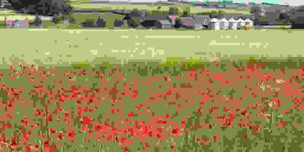
  • If you’ve got cropland, we might recommend an Arable Indicator Survey to see if you have any rarer remaining traditional plants, along with more common indicator species that tell us whether the soil conditions are healthy and capable of supporting rich plant communities. The list of species will be different depending on your underlying geology and local climate conditions.

    You might think that “weeds” and rubble aren’t important for biodiversity. But if your site is at least 0.25ha and located in a relatively urban area, or in a historically industrial plot, you could have Open Mosaic Habitats on Previously Developed Land (otherwise known as brownfield). As the name suggests, this is typically a mosaic of different habitat types like grassland, scrub, bare ground, and temporary waterbodies, all sitting on disturbed nutrient-poor soils. When surveying OMH, an ecologist will note evidence of human activities that have disturbed the site and any variations like bare concrete or spoil heaps. They will then map all the discrete patches of habitat separately, like bare ground, self-seeded “weeds”, shorter wildflower patches, damp hollows, and scattered scrub, to display the mosaic.

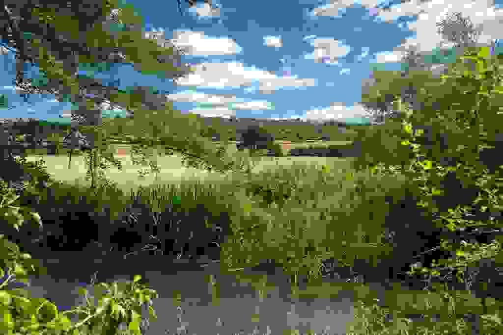
  • If you have a river or stream, you might need more than just an RCA. A River Habitat Survey (RHS) is a more detailed version, with data collection over a 500m section rather than the 10m or 50m modules required for RCA. There’s also a whole host of other river surveys, depending on the information your ecologist says you need!
    Section image
  • Ponds also have their own set of surveys. Like all of the above, the National Pond Survey (NPS) records the plants around your waterbody. In addition, it also records invertebrates and plants WITHIN the waterbody (macrophytes), along with various physical characteristics and water quality, all of which combine to give your waterbody a score.

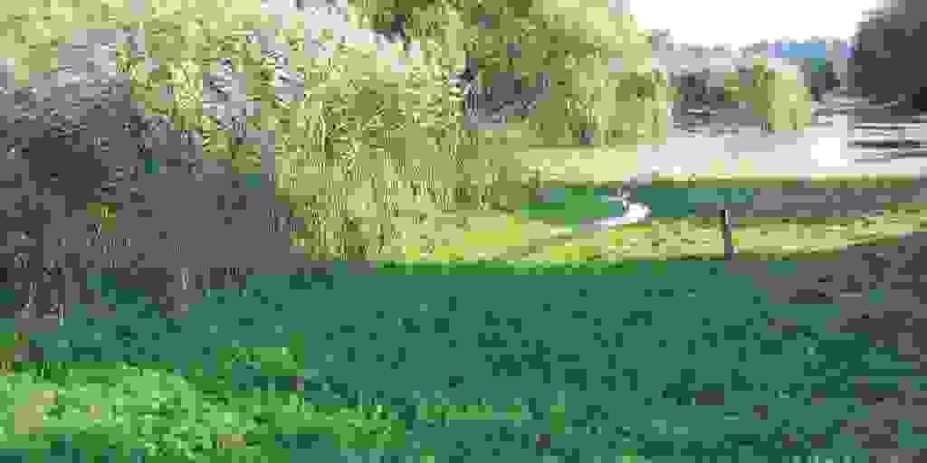
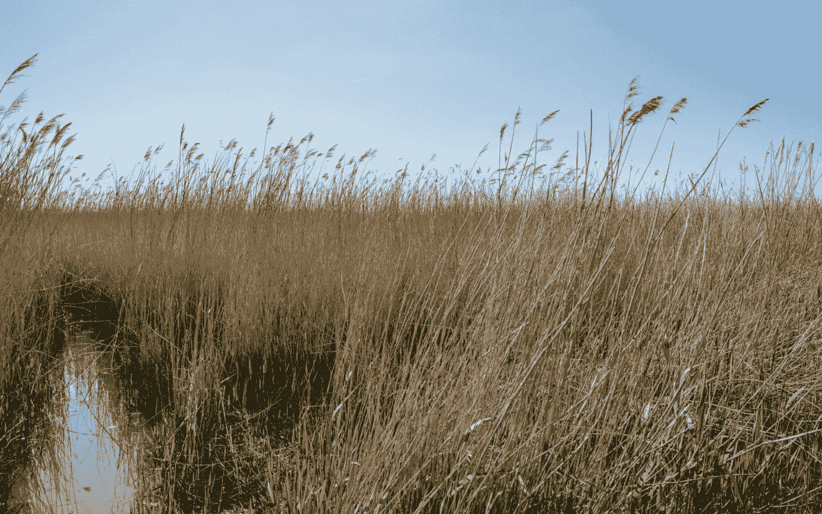
  • Wetlands have a combination of ditches, ponds, watercourses, and terrestrial habitats, not to mention all the “somewhere in between” habitats! They often need a combination of survey types, but there are some dedicated things we can do. A Freshwater Plant Survey does a lot of the same things as the pond survey, but it often uses transects (i.e. walking in a line and noting the plant species) instead of quadrats, and some assessments might need to be conducted by boat.

  • So That’s the Habitats, What About the Plants?

    Section image
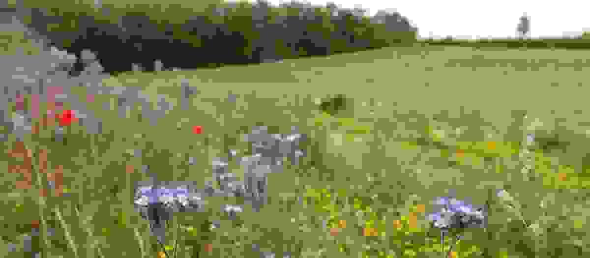
  • Sometimes we need to do dedicated surveys for particular plant species instead of (or in addition to) doing the entire habitat.

    Usually it’s a rare plant survey, like these ones conducted by BSBI, where an ecologist does a walkover of a site specifically making observations of the target species or group.

  • A good example of this is the orchid family. These little guys are really fussy where they live, requiring precise soil chemistry, specific pollinators, and specific underground mycorrhizal fungi, so if you have them on your site; congratulations! It means you’ve got undisturbed high-quality habitat (like chalk grassland, ancient woodland, or a fen).

    Unfortunately, this also makes them incredibly sensitive to pollution, nutrient enrichment, climate shifts, and changes in land management… which is exactly why they need to be carefully monitored as indicators of habitat health.

    Some orchids are also Schedule 8 species, along with things like native bluebells, Jersey cudweed, and other lesser-known plants. This means they’re under additional legal protection because it’s illegal to intentionally pick, uproot, destroy, or sell them without specific permissions. Certain species (like the cudweed) actually require a protected species licence from Natural England before they can be translocated, which means an ecologist moving the plants (or at least, cuttings or seeds) to a designated receptor site and then submit regular reports showing they are thriving in their new home.

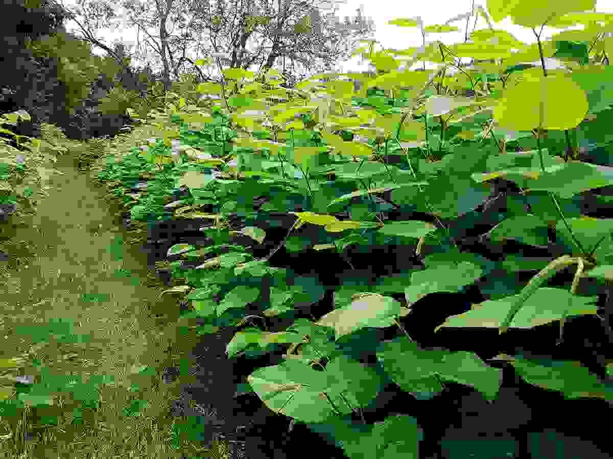
  • The final common type of dedicated plant survey is for undesirable species rather than protected ones. Certain things are listed on Schedule 9, which means they’re considered to be Invasive Non-Native Species (INNS). These guys are dangerous in some form or another, so it’s a criminal offense to plant or otherwise cause them to grow in the wild. Some well-known examples are shown below:

  • Section image

    Japanese knotweed

    Causes significant property damage by exploiting tiny cracks in brickwork, drains, and paving, and forms dense thickets that outcompete native plants. It grows incredibly fast, up to 10cm a day, and the rhizomes (the root system) can reach 3m deep and 7m wide. It also re-roots very easily from tiny fragments. Because it was brought here from East Asia in the 19th century, it has no natural predators and grows unchecked without human intervention.

    Thank you, Victorians…
    Section image

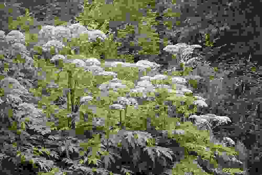
    Giant hogweed

    This, on the other hand, damages living things. The sap contains toxic chemicals which cause painful blistering, severe burns, and long-lasting scars when exposed to UV or sunlight. It’s also a giant, as the name suggests, growing up to 15ft tall and colonies of the plants can outcompete fragile native riverbank plants. A single plant produces tens of thousands of seeds which float, meaning it takes over entire stretches of river very fast. Like the knotweed, this one was also brought over from East Asia in the 19th century.
    Section image

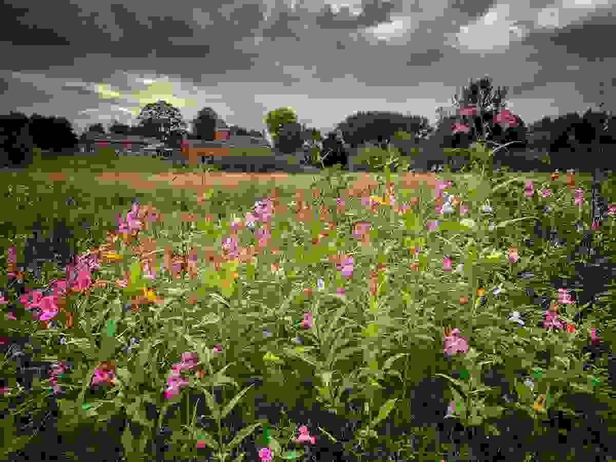
    Himalayan balsam

    Otherwise known by the endearing name of policeman’s helmet! Damages our river banks. Every plant makes up to 800 seed inside pressurised pods, which can shoot these seeds up to 7m away when they go POP. This forms dense beds of tall plants which, again, outcompete our native species. They also have very shallow root systems so when they die back in winter, the river banks are left with no protective vegetation and erode faster. As you can guess from the name, this is another 19th century import from East Asia.
    Section image

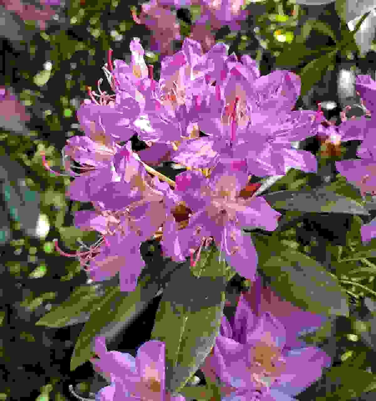
    Rhododendron ponticum (and hybrids)

    A problem for similar reasons. It produces quite literally millions of air- and water-borne seeds, grows fast, roots easily from fallen branches, and forms dense thickets which outcompete native woodland species. In addition, it carries various plant diseases and also has weird kind of toxin-rich nectar which can kill honeybees if ingested in high quantities. It can even result in “mad honey”, which causes dizziness, blurred vision, and low blood pressure in humans (although so far not in the UK!). I bet you can guess who brought it here and when…
    Section image

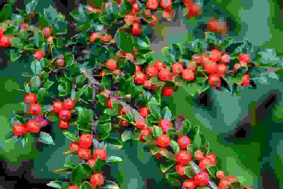
    Cotoneasters

    Thicket-forming plants which outcompete natives. Not all of them are INNS; only five species are listed on Sch9 (wall, Himalayan, small-leaved, entire-leaved, and hollyberry). They produce masses of red berries, which birds love and will carry for miles in their stomachs, and all Cotoneasters are very hardy plants which will grow in even the most inaccessible and exposed places. They are also toxic, but only if ingested! No prizes for guessing the source.

  • Now, just because you have them on your private property, it doesn’t automatically mean you’re breaking the law! Lots of people have Rhododendron or Cotoneaster in their gardens. The illegal part comes if you don’t manage them properly, leading them to spread onto your neighbour’s land or elsewhere.

    For this reason, it’s something all ecologists look out for when surveying any site and if an INNS is found, we will always notify you immediately of the exact location, the likely infestation scale, and what needs to be done about it.
    Section image

    Now, just because you have them on your private property, it doesn’t automatically mean you’re breaking the law! Lots of people have Rhododendron or Cotoneaster in their gardens. The illegal part comes if you don’t manage them properly, leading them to spread onto your neighbour’s land or elsewhere.

    For this reason, it’s something all ecologists look out for when surveying any site and if an INNS is found, we will always notify you immediately of the exact location, the likely infestation scale, and what needs to be done about it.
    Section image