


Vic Standing ACIEEM RCA Accredited MSc BSc (Hons)
Calculus Ecology is based in East Sussex and is owned and operated by Vic Standing, a habitats ecologist and botanist with eight years' experience within ecological consultancy.
Vic specialises in habitat assessment, with a focus on Priority Habitats such coastal vegetated shingle, saltmarshes, sand dunes, maritime cliffs, calcareous and orchid-rich grasslands, ancient woodlands, hedgerows, rivers, and chalk streams. Xe regularly conducts botanical and habitat surveys such as Preliminary Ecological Appraisals (using UKHab V2 and V1, and JNCC Phase 1), orchid surveys, and rare plant surveys. Vic is an accredited River Condition Assessor, and has surveyed a variety of nationally protected habitats and both nationally- and internationally-designated sites. Xe also has considerable experience in Biodiversity Net Gain (BNG) assessments, using the current Statutory metric and previous versions, and has provided internal training within two organisations in QGIS mapping for BNG purposes. Xe is keen to explore technological solutions within ecology.
Vic is also experienced in a variety of protected species surveys including; ecological supervision works, dormouse, great crested newt, water vole, bat dusk emergence/pre-dawn re-entry, reptiles, invertebrates, radio-tracking (using SIKA units and colinear antenna arrays), and badger bait-marking and sett monitoring. Xe is competent in conducting BREEAM assessments and post-construction reviews. Xe has extensive knowledge of sound analysis using BatExplorer and Kaleidoscope, and Thermal Imaging (TI) and Infra-Red (IR) video analysis, having helped to refine the dedicated software provided by Wildlife Imaging Systems (WIS).


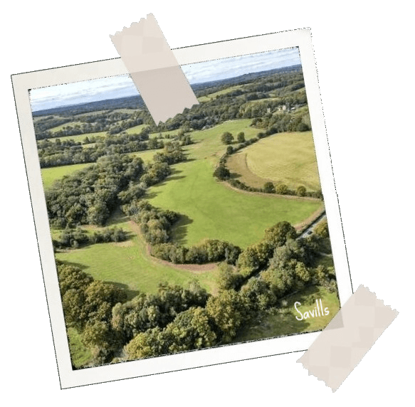
Habitat Bank, East Sussex (2025 - ongoing)
Undertook habitat surveys and mapping of a 49ha parcel of privately-owned farmland to be used for habitat banking. Advised on habitat creation (including Priority Habitats) and enhancements based on soil testing, underlying geology, existing on- and off-site habitats, landscape and topology, historical land use and habitat loss, and the costs and local availability of units for specific habitat types. Advice ongoing.
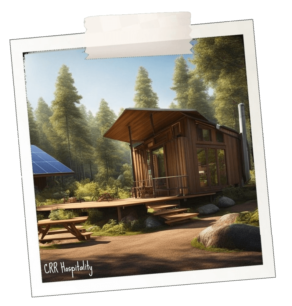
Eco Camp Site, Kent (2025 - ongoing)
Assessed the impacts of creating a small-scale glamping site within a traditional orchard (Priority Habitat identified during field surveys) and provided initial recommendations to mitigate effects and improve habitat connectivity. Further surveys and advice will be ongoing throughout 2026.

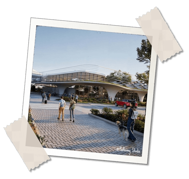
Le Shuttle (EuroTunnel), Kent (2025 - ongoing)
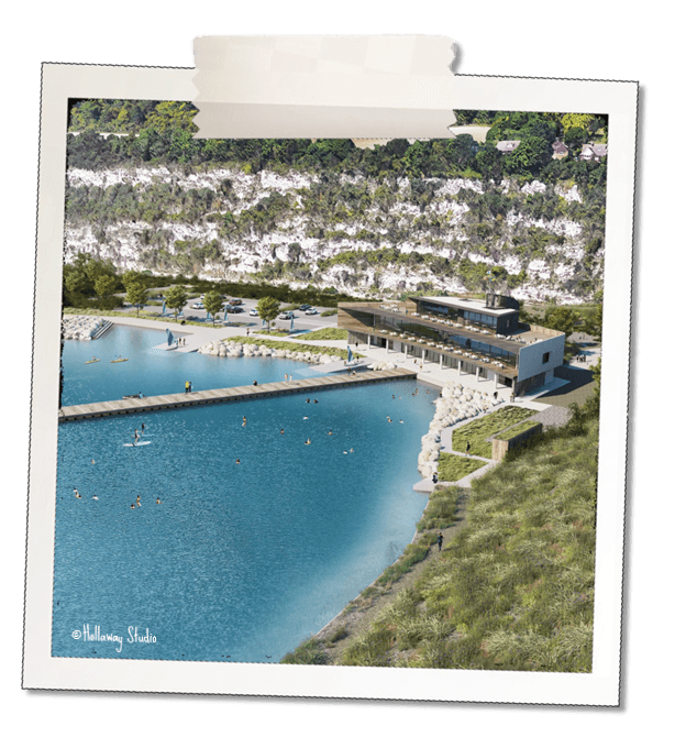
Surveyed all habitats of the Folkestone Channel Tunnel terminal, produced mapping and baseline BNG assessment calculations, and provided a variety of suggestions to enhance biodiversity in “once-in-a-generation” upgrade scheme, starting 2026.

Confidential Site, Oxfordshire (2025 - ongoing)
Took over ongoing specialist project dating back to 2006, mapping and monitoring an estimated 10,000 individual orchids over a 280ha scientific research site and providing ongoing advice on maintenance and translocations.

Confidential Site, Kent (2024 - ongoing)
Conducted habitat and botanical surveys, including calcareous species and orchids, within a former chalk quarry site bordering on an SSSI. Provided advice on maintaining unusual habitats such as floating islands, open mosaic habitats on previously developed land, and a large-scale invertebrate feature fixed to a zipline tower.

MEASS, Kent (2023 - 2024)
Conducted Habitat Condition Assessments (HCAs) and rare plant surveys as part of a team, based on high-level baseline mapping of an internationally-designated area (Shellness, Great Bells Farm, and Elmley Nature Reserve) containing coastal grazing marsh with associated ditches, saltmarsh, saline lagoons, reedbeds, mudflats, and a vegetated sea wall. Compiled all surveyor results for area-based and linear habitats in a master GIS database for use within individual Biodiversity Net Gain (BNG) metrics.

Hurst Spit (2023)
Undertook a habitat survey of a 3.5km length of shingle spit in a protected site designated (in part) for exceptional assemblages of coastal vegetated shingle, along with smaller areas of the surrounding saltmarsh and other intertidal habitats. Assessed likely impacts due to proposed repair works to the castle, and provided mitigation recommendations for inclusion in the wider Habitats Regulations Assessment (HRA).


Peacehaven (2023)
Conducted baselinehabitat surveys of a 5km section of chalk maritime cliff habitat, including the wavecut platform, clifftops, vegetated shingle beach, and other protected coastal habitats. Produced mapping for all habitats using UKHab classifications.

Ealing SINC Review (2021 - 2023)
Arranged Phase 3 habitat survey schedule for four different ecologists (including myself) covering over 100 Sites of Importance for Nature Conservation across the London Borough of Ealing. Conducted baseline Biodiversity Net Gain assessments for all sites surveyed within all three phases, and used the data to populate a bespoke GIS Areal platform package.


HS2 Acoustic Deterrent Trials, East Sussex (2021 - 2022)
Conducted bat activity surveys in multiple locations using a novel technique to test the efficacy of acoustic deterrent equipment on different bat species, with associated sound analysis. Carried out video analysis using data processed by an experimental movement-tracking software. Collated a dataset of over 250,000 data points and provided a number of figures for inclusion in the final report.
Arundel A27 Road Bypass 2021 - 2023)
Undertook bat crossing point surveys carried out over several months along the current proposed route options on the A27 in Arundel, West Sussex. Conducted overnight radio-tracking surveys and day roost searches. Led the colinear antenna array setup and data analysis. Infrared and thermal imaging data analysis, with accompanying sound analysis in BatExplorer/Kaleidoscope.


London Gateway Logistics Park / DP World, Essex (2017 - 2021)
Project officer on one of the largest projects within The Ecology Consultancy. Primary client liaison for three years, scheduling surveys and arranging site access, with general project management and logistics. Contributions to data analysis and reporting, conducting water vole surveys and trapping as needed.
Stambridge Mills, Essex (2019)
Assisted with invertebrate collection and identification on a large brownfield site and surrounding areas on the Roach River. Survey techniques included sweep-netting, spot searching both terrestrial habitats and ephemeral water bodies, and netting of flying insects.


